Geometric Data Ltd is a specialist subsidiary of OBA Group Africa offering high-precision geospatial solutions, GIS services, and drone-powered data acquisition.
We support governments, engineers, planners, and developers with the location intelligence they need to make smarter, faster, and more sustainable decisions.
Our Solutions
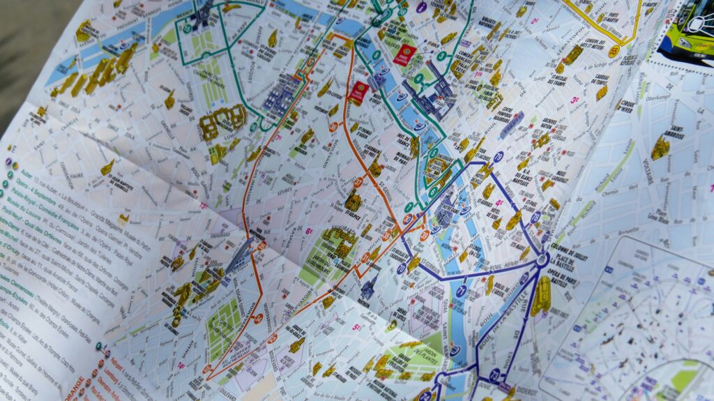
GIS Mapping & Spatial Analysis – for land use planning, utilities, and environmental monitoring
Drone Photogrammetry & Orthophotos – delivering high-resolution aerial imagery and terrain data
Topographic & 3D Modelling – for architectural design, infrastructure planning, and earthworks
Data Visualization & Geoportals – turning raw data into interactive
Why Work With Us:
Expert GIS analysts, UAV pilots, and survey professionals
Cutting-edge tools for data collection, processing, and modeling