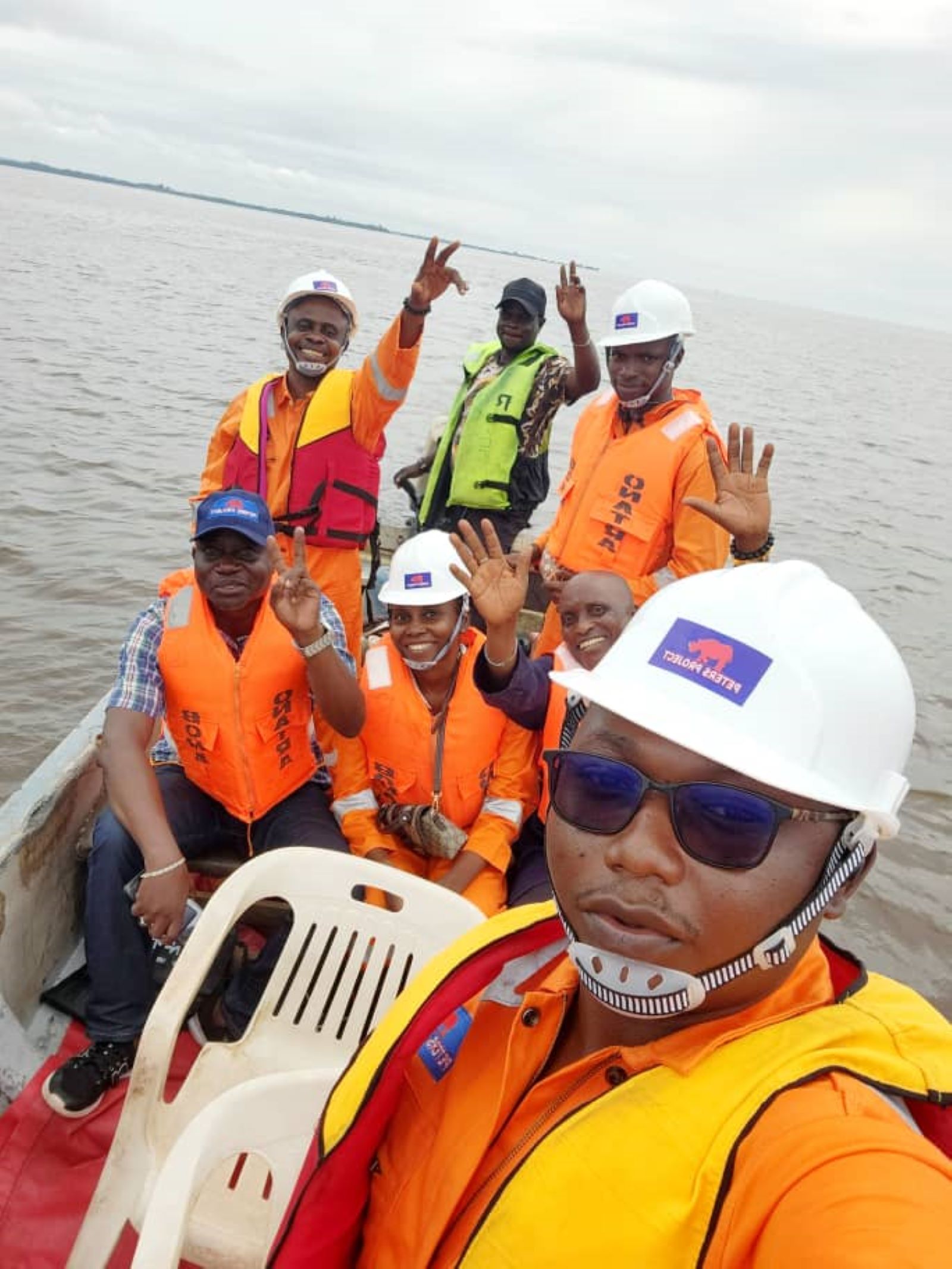
Every rainy season, Lagos residents brace for the same story. Roads submerged, homes flooded, businesses shut down, and families displaced. In 2026, the flooding has been worse than usual, with communities across Lekki, Victoria Island, Ikoyi, Festac, Gbagada, Ikeja, and Ajah battling rising water, blocked drains, and damaged infrastructure. As the city searches for lasting solutions, one discipline deserves far more attention than it currently gets: hydrographic surveying.
Why Lagos Keeps Flooding
Lagos sits on low lying coastal terrain, bordered by the Atlantic Ocean and criss-crossed by lagoons, creeks, and wetlands. This geography makes the city naturally vulnerable to flooding, but the problem has been made worse by rapid urbanisation, blocked drainage channels, ageing infrastructure, and rising sea levels. Many of the canals and waterways that once carried excess water safely into the lagoon have been narrowed or blocked by construction, refuse, and unregulated development. When heavy rain falls, as it did across the city in recent weeks, the water has nowhere to go.
Where Hydrographic Surveying Fits In
Hydrographic surveying is the science of measuring and mapping the physical features of water bodies, including depth, shoreline position, tidal patterns, and the seabed or lagoon bed. It is the same discipline that produces navigational charts for shipping, but its value extends far beyond maritime use.
For a coastal city like Lagos, hydrographic data is essential to understanding how water moves and where it accumulates. Accurate surveys of the lagoon, canals, and drainage channels reveal siltation levels, blockages, and changes in water depth over time. Without this data, drainage projects are often designed and repaired based on outdated assumptions rather than current ground truth. This is part of why some newly rehabilitated channels still fail under pressure during peak rainfall.
Turning Data Into Prevention
Effective flood control in Lagos depends on knowing exactly how water behaves across the terrain. Hydrographic and topographic surveys, combined with elevation modelling, can identify which neighbourhoods sit in natural floodplains, where drainage capacity is insufficient, and where new infrastructure should be prioritised. This kind of data driven planning allows government agencies to move from reactive clean-up after flooding to proactive design before the rains arrive.
It also supports smarter regulation. When authorities have precise survey data on waterways and floodplains, it becomes easier to identify illegal construction on drainage corridors and wetlands, one of the most frequently cited causes of worsening floods in the city.
A Role for Local Expertise
Nigeria has no shortage of surveying and geomatics talent capable of carrying out this kind of work. What is often missing is consistent investment in hydrographic data collection and its integration into urban planning decisions. As Lagos continues to expand and its flood risk grows, building this capacity locally, rather than relying solely on emergency dredging after the damage is done, will matter more each year.
At Oba Group Africa, we see this as an area where surveying expertise can directly support public good. Our subsidiary, Oba Surveys Development Limited, works on land and geospatial surveying solutions that support infrastructure and development planning across Nigeria, the kind of groundwork that flood resilient cities are built on.
Lagos does not need to keep repeating the same flood story every year. With the right data and the right investment, prevention is possible.
Interested in how surveying and geospatial data can support infrastructure planning in your organisation? Get in touch with us to learn more about our services.
Oba Group Africa is a diversified Nigerian holding company committed to driving growth and impact across the continent through its subsidiaries, including Oba Surveys Development Limited.