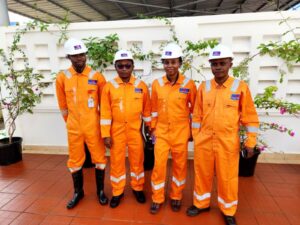
Oba Surveys is the geospatial backbone of OBA Group Africa — a professional surveying firm delivering high-accuracy data collection, land analysis, and mapping services for infrastructure, engineering, and development projects. With a deep commitment to excellence, our team combines advanced survey technology with decades of field expertise to support clients across sectors.
Why Oba Surveys?
Licensed professionals with deep local knowledge
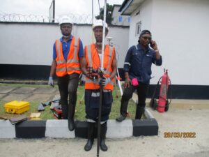
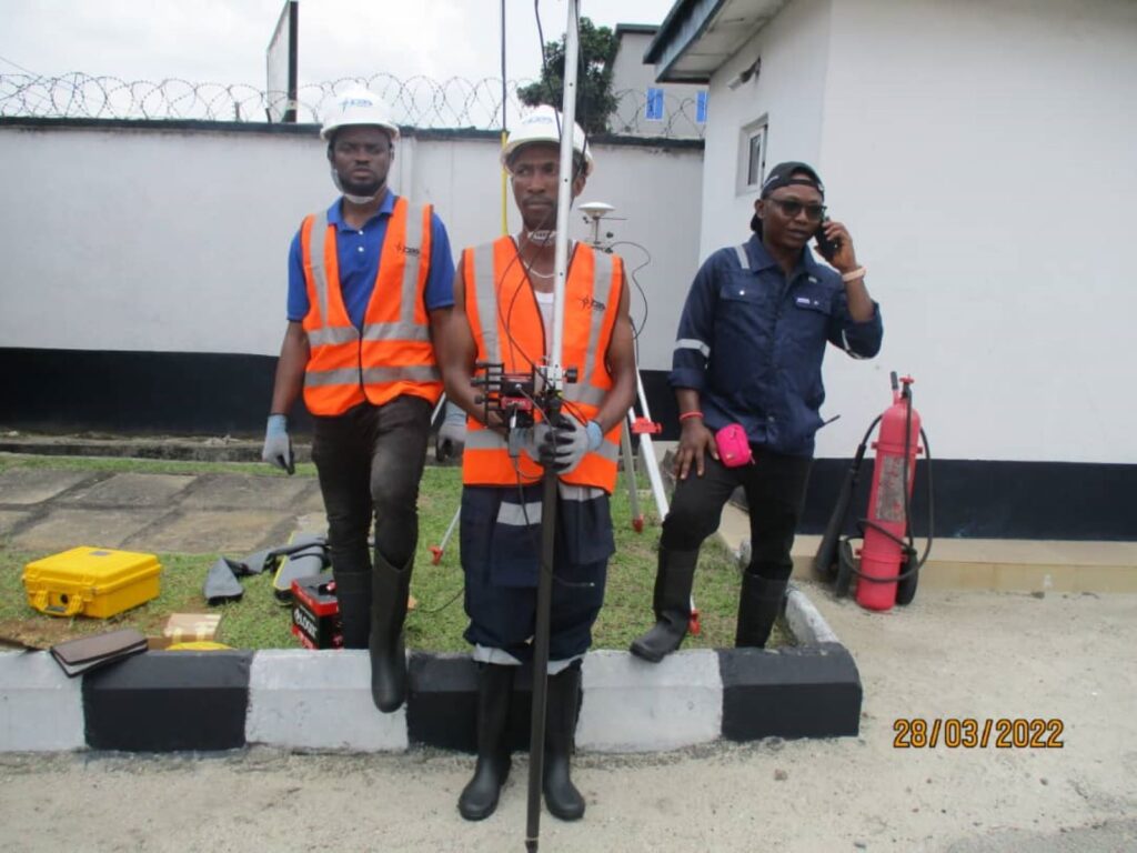
Up-to-date equipment: total stations, drones, GPS RTK, and 3D scanners
Accuracy that supports faster approvals, lower risks, and smoother builds
Our Services
Cadastral and Boundary Surveys – clearly defining land ownership and titles
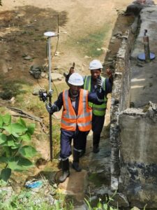
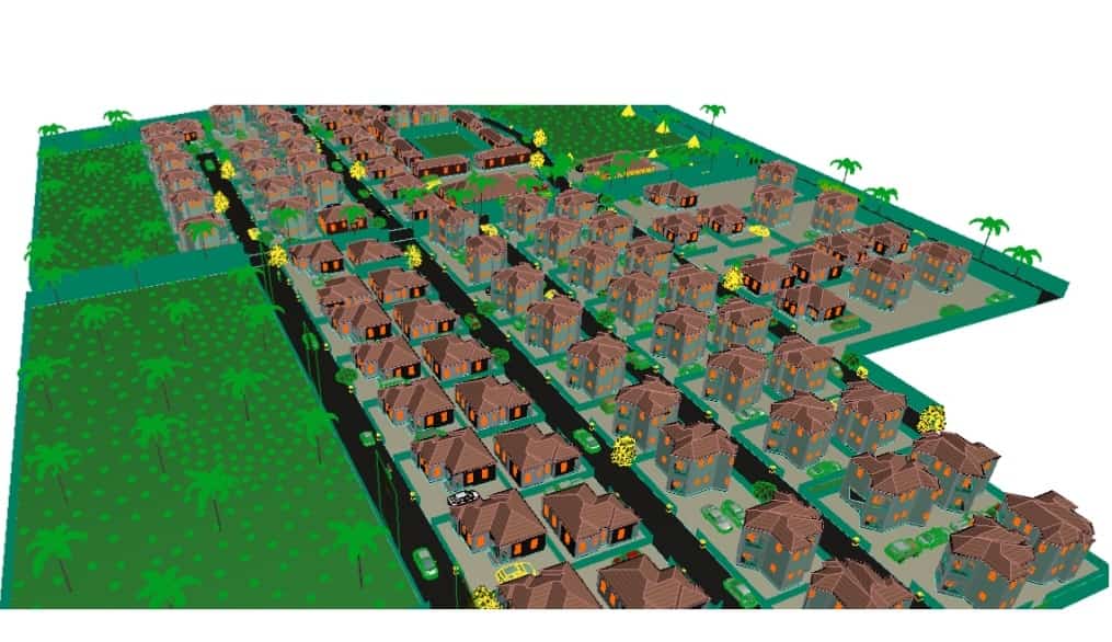
Topographic and Engineering Surveys – accurate ground data for roads, bridges, pipelines, and utilities
Route and Alignment Surveys – supporting transportation and energy corridor planning
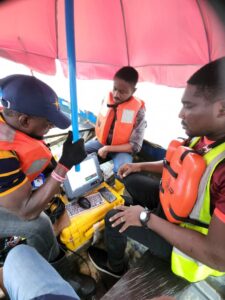
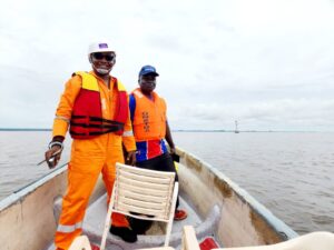
Hydrographic Surveys – measuring water bodies for marine works and shoreline infrastructure
As-Built and Control Surveys – validating completed work against original plans
Surveying is the bedrock of every meaningful development!